
 desk
desk Share
Share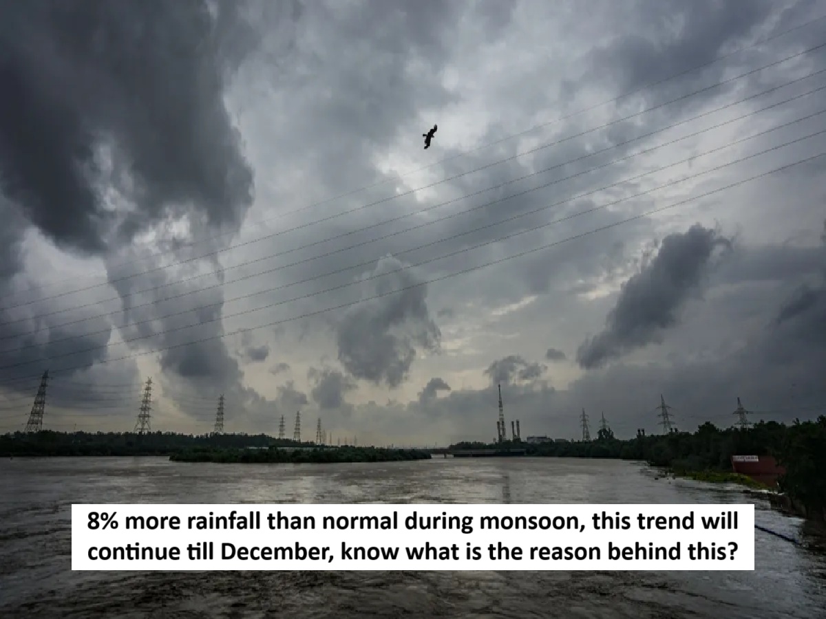
News Topical, Digital Desk : The monsoon, which arrived in the country on May 24th, departed on October 15th. However, rain continues to fall in various parts of the country. This year, the monsoon departed a day later than usual, but rainfall was 8 percent higher than normal. According to the India Meteorological Department, this year's monsoon arrived in India the earliest since 2009. In 2009, it arrived on May 23rd.
The monsoon covered the entire country nine days ahead of its normal date of July 8. This is the earliest the monsoon has reached the entire country since 2020. In 2020, the monsoon had covered the entire country by June 26. The monsoon usually enters Kerala by June 1 and covers the entire country by July 8. It begins withdrawing from northwest India around September 17 and is completely gone by October 15.
How much rain fell this year?
India recorded 937.2 mm of rainfall in the four months of monsoon till September 30, which is eight per cent more than the normal 868.6 mm. The IMD had said earlier this month that most parts of India, except some areas in the northwest, are likely to receive above normal rainfall during the post-monsoon season from October to December. IMD Director General Mrityunjay Mahapatra said that after the abundant rains during June-September, rainfall in October is likely to be 15 per cent above normal.
Northeastern states remain dry
Eastern and Northeastern India recorded 1089.9 mm of rainfall, which is 20 percent less than the normal rainfall of 1367.3 mm. Mahapatra said, "This monsoon, rainfall in Eastern and Northeastern India was the second lowest since 1901. The lowest rainfall (1065.7 mm) during the monsoon in this region was recorded in 2013. Studies show that rainfall in this region has decreased in the last two decades." He said that Northwestern India received 747.9 mm of rainfall, which is 27.3 percent more than the normal rainfall.
Damage caused by floods in Punjab
Mahapatra said this was the highest rainfall since 2001 and the sixth highest since 1901. He added that all districts in the region recorded above-normal rainfall in June, August, and September. Punjab experienced its worst floods in decades, and Himachal Pradesh, Uttarakhand, and Jammu and Kashmir reported cloudbursts, flash floods, and landslides, damaging infrastructure and displacing people.
What was the reason for excessive rain?
The IMD attributed the excess rainfall to an active monsoon, supported by frequent western disturbances, which increased rainfall in the region. It said central India recorded 1125.3 mm of rainfall, which is 15.1 per cent more than normal, while the southern peninsula recorded 9.9 per cent more rainfall. India received 8.9 per cent more rainfall than normal in June, 4.8 per cent in July, 5.2 per cent in August and 15.3 per cent in September. The monsoon is crucial for agriculture, on which about 42 per cent of the population depends, and contributes 18.2 per cent to the GDP. It also fills vital reservoirs for drinking water and power generation.
Colder than normal conditions expected
Snowfall began in the hilly states in the first week of October this year. This has already brought a chill to northern Indian states, including Delhi. This year, the cold is expected to last longer than usual, with minimum temperatures likely to drop below normal. This winter in northern Indian states, including Delhi, could be the coldest in a decade. However, winds from the Pacific Ocean will play a significant role in this.
Heavy rain expected in Bengal-Tamil Nadu
Heavy rain is expected in West Bengal and Tamil Nadu between October 28th and 31st. A deep depression formed in the Bay of Bengal and has now intensified into a cyclone. Its effects will be felt in West Bengal, Odisha, Tamil Nadu, and other eastern states. Rain is also occurring in Madhya Pradesh and other areas. According to the Meteorological Department, most parts of the country will receive above-normal rainfall until December due to various reasons.
--Advertisement--