
 desk
desk Share
Share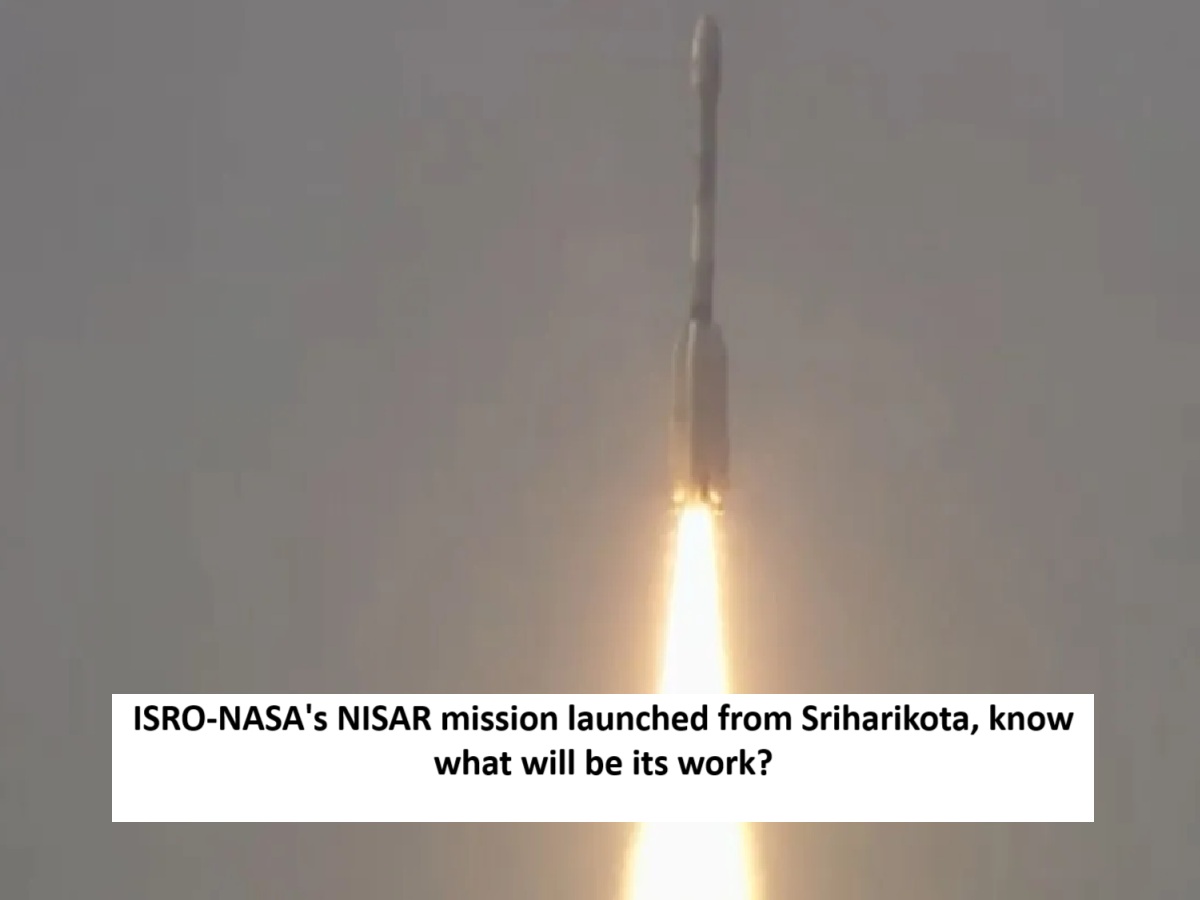
News Topical, Digital Desk : The Indian Space Research Organisation (ISRO) on Wednesday launched an earth observation satellite jointly developed by ISRO and NASA. The launch took place at 5:40 pm IST. The NISAR satellite, a combination of human skills and a decade-long software and hardware sharing between the two space agencies, aims to study the entire Earth from a sun-synchronous orbit.
The NISAR (NASA-ISRO Synthetic Aperture Radar) satellite, built as a joint effort of the Indian Space Research Organization (ISRO) and the US space agency NASA, will be placed in a 747 km sun-synchronous orbit through the GSLV Mk-II rocket. Let us know why this mission is special and what work it will do.
What is Nisar?
NISAR is an earth observation satellite weighing 2,392 kg. It is the first satellite to use two different frequencies, NASA's L-band and ISRO 's S-band. This dual radar system will help it observe changes on the earth's surface with greater accuracy than ever before. According to NASA, both these systems are specialized in measuring different characteristics of the earth's surface, such as moisture, surface texture and movement. The satellite costs more than $1.5 billion (about Rs 12,500 crore), making it one of the most expensive earth observation satellites in the world.
NISAR took 10 years to build. It has a special 12 meter gold mesh antenna, the largest in low Earth orbit. It is attached to ISRO's I-3K satellite bus, which has systems for command, data, propulsion, and direction control and 4 kW solar power.
How will Nisar work?
After launch, NISAR will be placed in a sun-synchronous orbit at an altitude of 747 km, with an inclination of 98.4 degrees. But it will not start taking images immediately. The satellite will spend the first 90 days in commissioning or in-orbit checkout (IOC) so that it can be ready for scientific work. NISAR's synthetic aperture radar (SAR) will send radar waves to the Earth's surface and measure their return time and phase changes. It will use two types of radar:
- L-band SAR (1.257 GHz): This is a long-wave radar that can see through dense forests and movement under the soil. It will help measure small changes on the ground.
- S-band SAR (3.2 GHz): This is a shorter wavelength radar that will capture surface details, such as crops and water surfaces.
NISAR will use SweepSAR technology for the first time, which will provide high resolution data over a radius of 242 km. It will scan the entire Earth every 12 days, in all weather conditions, day or night, irrespective of clouds or darkness.
Why is NISAR Mission special?
NISAR mission symbolizes the growing partnership between India and the US in the space sector, which will revolutionize earth observation. This mission will study the earth's ecosystem, ice sheets, vegetation, forests, groundwater, sea level rise, and natural disasters such as earthquakes, tsunamis, volcanoes, and landslides. Its dual radar system and SweepSAR technology enable it to collect accurate data day and night and in all weather conditions, despite clouds, smoke, or dense forests, which makes it different from other satellites. NISAR data will be available free of cost to scientists, farmers, and disaster management teams, especially in a few hours in case of a disaster. This data will prove useful not only for India and the US, but the whole world in disaster management, agriculture, and climate monitoring.
What will be the impact of Nisar?
The NISAR mission will help understand Earth's changing environment and natural processes. It will assess risks in earthquake-prone regions such as the Himalayas, track volcanic activity, and help monitor infrastructure. Its data will help farmers manage crops and help scientists understand the effects of climate change.
Read More: ISRO-NASA's NISAR mission launched from Sriharikota, know what will be its work?
--Advertisement--