
 desk
desk Share
Share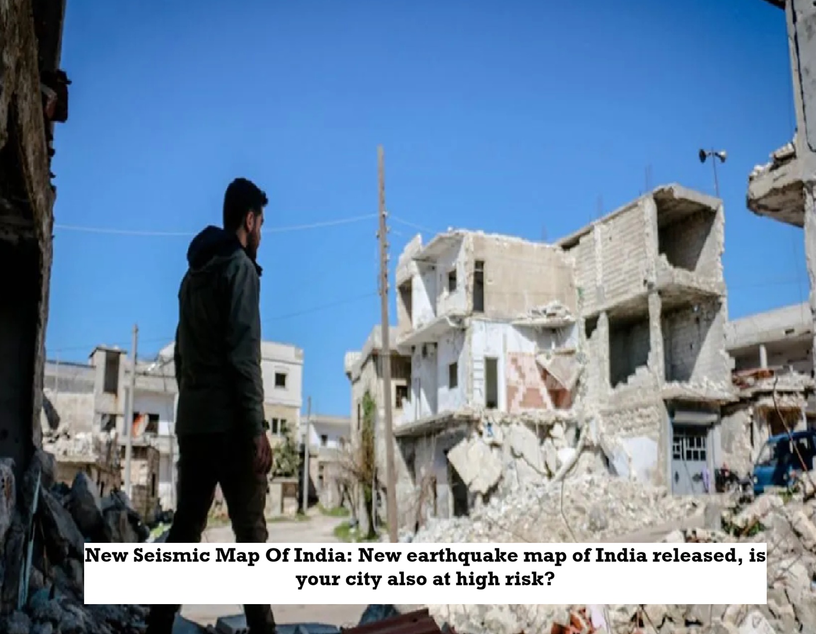
News Topical, Digital Desk : Imagine a seemingly serene mountain range thousands of kilometers long, but within it lies years of accumulated tension. These fault lines beneath the earth's surface are gripped like shining swords, periodically displaying their strength. Meanwhile, the cities nestled beneath this mountain range—Srinagar, Rishikesh, Dehradun, Dharamshala, and Gangtok—have been living under the shadow of the threat of earthquakes for years. But now the Bureau of Indian Standards (BIS) has revealed a truth that scientists have been aware of for years. It has been revealed that the entire Himalayas are now in a danger zone. This isn't just a new guideline, it's a new blueprint for India's future security. The Bureau of Indian Standards has released a new edition of the Earthquake Design Code—IS 1893 (Part 1): 2025—and with it, the country's seismic map has changed on such a large scale for the first time.
A new Zone VI had to be introduced to indicate high risk.
The new code in the new edition of BIS has introduced a new Zone VI which is the most severe. Now all the places in Jammu & Kashmir, Uttarakhand, Himachal Pradesh, Sikkim and Arunachal Pradesh have been placed in this most vulnerable category. Zone VI includes entire Jammu & Kashmir, Shimla, Dharamshala, Kullu-Manali, Kangra in Himachal Pradesh, Dehradun, Haridwar, Nainital, Mussoorie, Almora, Pithoragarh in Uttarakhand, foothill cities of Saharanpur in northern Uttar Pradesh, Haridwar-Rishikesh belt, Sikkim and Darjeeling, Gangtok in northern Bengal, entire Arunachal Pradesh and parts of northern Bihar.
--Advertisement--