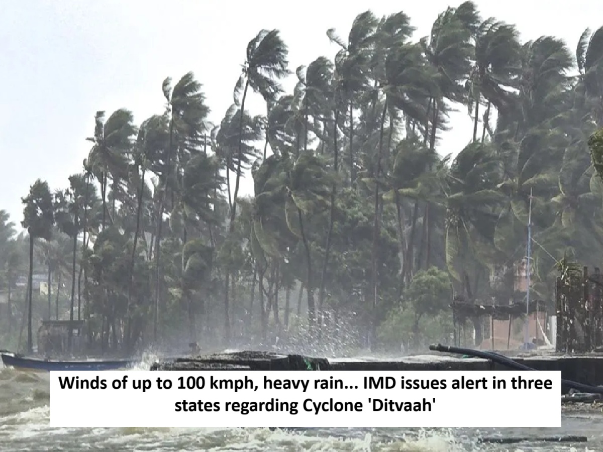
News Topical, Digital Desk : The Bay of Bengal is already in turmoil due to Cyclone Senyar. Now, the impact of Cyclone Ditwah will be felt. Cyclone Ditwah is rapidly approaching the coasts of northern Tamil Nadu, Puducherry, and southern Andhra Pradesh.
After wreaking havoc in Sri Lanka, Cyclone Ditwah has now moved towards India. So far, 69 people have died in Sri Lanka due to Cyclone Ditwah. Its impact will now be felt in the southern Indian states. Due to this, the weather here will remain poor for three days.
The storm will come at a speed of 100 km per hour
Cyclone Ditwaha will bring winds of up to 100 kilometers per hour to Tamil Nadu. Heavy rainfall is also expected during this period. In addition to Tamil Nadu, coastal areas of Kerala, Andhra Pradesh, and Puducherry will experience gale-force winds of 60 to 100 kilometers per hour and heavy rainfall.
Meteorological Department issued alert
According to the Meteorological Department's forecast, Cyclone Ditwah will move north-northwestward across the Sri Lankan coast and the adjacent Bay of Bengal, reaching the coasts of northern Tamil Nadu and southern Andhra Pradesh by Sunday morning. In response to the threat of Cyclone Ditwah, the Meteorological Department has issued heavy rainfall warnings for several areas of South India.
Storm is active here
Regarding Cyclone Ditwah, Director General of Meteorology, Dr. Mrityunjay Mahapatra, stated that the cyclone is over the Sri Lankan coast and the adjacent southwest Bay of Bengal. It is approximately 480 kilometers south of Chennai. It is moving north-northwest. It will exit Sri Lanka and enter the southwest Bay of Bengal by the morning of the 29th. It may intensify slightly during this time.
Heavy to very heavy rain alert
The cyclone will continue to move north-northwestward and reach the coast of northern Tamil Nadu and Puducherry by the morning of the 30th. Heavy to very heavy rainfall is forecast at isolated places in Tamil Nadu, southern Andhra Pradesh, and Puducherry. These rainfall events may lead to localized flooding. Flash floods are also possible in hilly areas.
Dr. Mrityunjay Mahapatra stated that rough seas are likely along the Tamil Nadu, southern Andhra Pradesh, and Puducherry coasts on the 29th and 30th. Storm surges could inundate low-lying areas of northern Tamil Nadu and Puducherry. Fishermen have been warned not to venture into the sea until the 30th.
Cuddalore District Collector on alert regarding Cyclone Ditvaah
Collector Siby Adhithya of Cuddalore district in Tamil Nadu said that the IMD has issued a warning of very heavy rainfall for Cuddalore district due to Cyclone Ditvaah . The district administration is fully prepared for this. Collector Siby Adhithya said that we have identified 22 very high-risk areas and 39 high-risk areas where water usually accumulates. We have already deployed people and equipment, especially motors, to immediately address the problem of water accumulation and flooding. We have also identified 233 relief centers where people can be evacuated and kept safe, and where food and water can be provided.
--Advertisement--

 Share
Share


