
 Priya
Priya Share
Share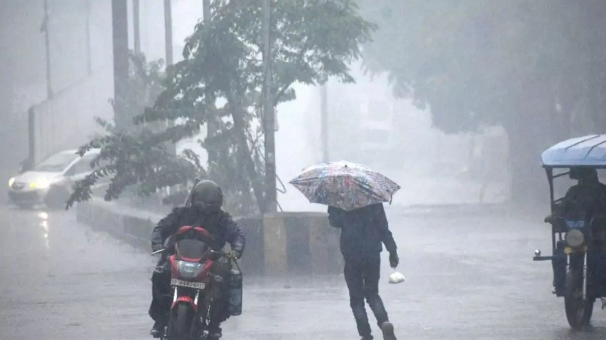
IMD Heavy Rain Alert Weather Forecast : The India Meteorological Department (IMD) has said in its latest bulletin that moderate to heavy rains are likely in most parts of Northwest India for the next 4-5 days due to active monsoon. Apart from this, heavy rains may occur at some places in central and eastern India during the next 4-5 days. IMD has issued a yellow alert for about one and a half dozen states and said that moderate to heavy rains may occur in these states. These include most of the states of the Hindi belt.
IMD has said in the latest bulletin that two hill states Himachal Pradesh and Uttarakhand are likely to receive heavy rains for the next four days. Apart from this, heavy rains are also expected in eastern and western Madhya Pradesh throughout the week. The Meteorological Department has made a similar prediction for Jharkhand and Odisha. The latest bulletin said that a cyclonic circulation is formed in South Chhattisgarh and adjoining areas, due to which heavy rains are expected till the Bay of Bengal.
IMD has said that at present the monsoon line is extending from Bikaner, Kota in Rajasthan, Guna, Sagar in Madhya Pradesh and Pendra Road and Balasore in Odisha towards the southeast to the east central part of the Bay of Bengal. Apart from this, an offshore pressure area is formed from South Gujarat to the Kerala coast. Due to this, an orange alert has been issued for the coastal areas of Gujarat, East Rajasthan, Kerala and Karnataka.
For Tuesday, July 30, the Meteorological Department has issued a yellow alert for a dozen states including Rajasthan, Punjab, Himachal Pradesh, Jammu and Kashmir, Haryana, Delhi, Western Uttar Pradesh, Eastern Uttar Pradesh, Madhya Pradesh, Vidarbha of Maharashtra, Chhattisgarh, Bihar, Jharkhand, West Bengal, Assam, Sikkim, while an orange alert has been issued for Gujarat, Uttarakhand, Southern Karnataka, Telangana and Manipur and Mizoram.
In its latest forecast, IMD has said that between 29 and 31 July, there may be rain with lightning in some areas of Bihar, Jharkhand, West Bengal, Chhattisgarh and Madhya Pradesh. The Meteorological Department has said that during this period, winds may blow at a speed of 45 to 55 kilometers per hour in Gujarat, Maharashtra and the states adjacent to the Arabian Sea, while winds may blow at a speed of 65 KM/H in the states adjacent to the Bay of Bengal.
According to IMD, during the next 24 hours, moderate to heavy rains are likely over Gujarat, Konkan and Goa, coastal Karnataka, Kerala, south-eastern Rajasthan and western Madhya Pradesh. Apart from this, Jammu and Kashmir, Himachal Pradesh, Uttarakhand, Sikkim and Assam may also receive moderate rains along with heavy rains at some places. Light to moderate rains are possible over Northeast India, West Bengal, Jharkhand, Odisha, Chhattisgarh, Madhya Pradesh, Vidarbha, Marathwada, Madhya Maharashtra, Telangana, Andaman and Nicobar Islands, Lakshadweep. IMD has said that light rains are possible over Punjab, Haryana, Delhi, Uttar Pradesh, Bihar, western Rajasthan, Andhra Pradesh and interior Karnataka during the next 24 hours.
On the other hand, due to the activity of monsoon, the rainy season continues in Rajasthan. In the last 24 hours, the highest rainfall of 166 mm was recorded in Arond of Pratapgarh in the state. According to the Meteorological Center Jaipur, in the last 24 hours, light to moderate rain with thunder occurred at some places in Rajasthan. At the same time, heavy rain was recorded at some places in Pratapgarh and Banswara districts and very heavy rain was recorded in Arond of Pratapgarh district. According to the Meteorological Center, in the last 24 hours, the highest rainfall of 166 mm was recorded in Arond of Pratapgarh. At the same time, the highest maximum temperature of 41.4 degrees was recorded in Ganganagar. The rainy season is expected to continue in the state.
--Advertisement--