







IAF Flexes Muscle Along LAC with Mega Air Drill in Uttarakhand
The Indian Air Force is preparing to demonstrate its deterrence and strike capabilities along the northern frontier with an intensive, week-long combat exercise over the rugged skies of Uttarakhand. Commencing on November 13 and scheduled to run through November 21, the operational maneuvers will unfold along the Line of Actual Control (LAC), directly across the central Himalayan ridge that defines the vital Middle Sector. With tensions across contested mountain boundaries keeping regional defense establishments on continuous watch, the high-altitude air drill aims to evaluate combat readiness, air defense integration, and the swift mobilization of men and materiel across complex alpine valleys.
The middle stretch of the Indo-Tibetan border—comprising the Chamoli, Pithoragarh, and Uttarkashi sectors—has historically received less media focus compared to the active flashpoints in eastern Ladakh or Arunachal Pradesh. However, strategic realignments and infrastructure build-ups on both sides of the ridge have made this mountainous corridor an essential pivot for territorial integrity. By launching broad-spectrum war games right along the watershed, the air force is testing forward battle concepts, proving that its rapid-reaction formations can project air power across steep mountain passes within minutes of an operational alert.
High-Altitude Engine Dynamics, BVR Air Combat, and Frontline Fighter Sorties
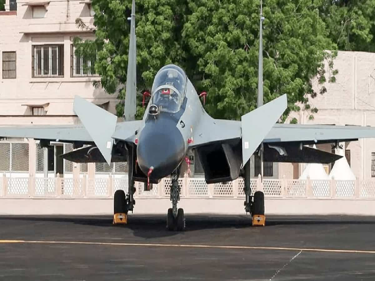
The drill will mobilize the Indian Air Force’s premier frontline multirole combat platforms, tasking fighter squadrons with rigorous tactical simulations designed to push both machine and pilot to the edge. Operating in rarefied atmospheric environments at elevations exceeding 10,000 to 15,000 feet imposes severe thermodynamic penalties on jet turbines, requiring specialized thrust-management protocols, refined takeoff-weight configurations, and specialized ground support. The exercise will systematically stress-test high-altitude engine performance, emergency re-ignition envelopes, and supersonic maneuverability across narrow valley corridors.
Beyond pure airframe flight limits, the war games center on simulated Beyond-Visual-Range (BVR) missile engagements and network-centric battlespace management. Ground radar stations perched on high ridges, mobile low-level transportable radars, and airborne early warning and control (AEW&C) platforms will integrate with fighter datalinks to generate a real-time, consolidated common air picture. Combat pilots will practice vectoring onto simulated hostile intruders, coordinating long-range missile lock-ons, and executing defensive split maneuvers against reciprocal counter-fire. The roar of afterburners bouncing off snow-capped peaks delivers a direct, unmistakable signal of aerial superiority and operational agility to surveillance posts observing activity across the frontier.
Testing Advanced Landing Grounds and Valley-to-Valley Combat Logistics
While supersonic combat grabs attention in the skies, a core objective of the Uttarakhand maneuvers focuses on tactical transport aviation, combat helicopter insertions, and rapid supply chains. Air planners will rigorously validate operational utility across the network of Advanced Landing Grounds (ALGs) and high-altitude civilian airstrips dotting the state, including key forward footholds such as Chinyalisaur in Uttarkashi and Gauchar in Chamoli. These forward staging bases have been upgraded with extended tarmac strips, specialized refueling pods, and dedicated night-landing instrumentation to handle emergency logistical missions.
During the operational run, heavy and medium tactical transport aircraft alongside multi-mission utility helicopters will execute rapid troop-lift drills, simulating emergency inter-valley reinforcements. Heavy machinery, ammunition reserves, cold-weather provisions, and quick-reaction commando teams will be air-dropped or ferried onto forward dirt strips under contested conditions. This logistical testing ensures that if road arteries become impassable due to landslides, winter snowpack, or hostile action, air bridges will immediately bridge the gap, keeping frontline garrisons stationed at remote passes fully supplied and combat-ready.
NOTAM Declared: Airspace Curbs and Commercial Route Realignments
To provide a safe operating environment for high-velocity intercept drills and live electronic warfare runs, aviation authorities have issued a comprehensive Notice to Airmen (NOTAM) covering key sectors of Uttarakhand airspace from November 13 through November 21. A NOTAM functions as an international air-safety alert issued by civil and military aviation regulators to notify aviators of active operational hazards, temporary airspace closures, or military activity. In this context, the notice defines spatial and altitude restrictions that close specified transit zones to uncoordinated civilian traffic, eliminating any risk of mid-air conflict with fast-moving military jets or surveillance drones.
Because the exercise impacts established civil navigation corridors crossing over northern India, commercial airline operators have been directed to coordinate directly with air traffic regulators and adjust flight paths around designated active danger zones. While some regional routes and high-altitude trans-Himalayan flights may experience minor track deviations or calculated arrival adjustments, the advance notification allows air traffic management centers to re-route passenger services smoothly without compromising safety standards. Ground controllers and military mission directors will maintain continuous radar oversight to ensure civilian operations flow cleanly outside the exercise envelope.
Strategic Deterrence Across the Central Himalayan Frontier
The week-long operational deployment underscores India’s broader defense doctrine of active deterrence through infrastructure integration and joint readiness. Over the past few years, the armed forces have systematically strengthened border roads, built all-weather tunnels, and integrated forward sensor grids along the Middle Sector, transforming an historically quiet frontier into a fortified defensive shield. Exercises of this scale validate these investments, demonstrating that ground installations, radar arrays, and fighter wings can coordinate under unified tactical control.
As the exercise approaches, ground support crews, mobile maintenance echelons, and flight commanders are establishing operational deployments across forward bases. By proving the air force's ability to dominate high-altitude skies, execute precision strikes in difficult geography, and reinforce remote Himalayan bastions on short notice, the drills send an unequivocal message of capability, preparedness, and sovereignty across the Line of Actual Control.