






Himalayan Disaster Warning: Nepal Floods Sound Alarm for India; Are Our Glacial Monitoring Systems Ready
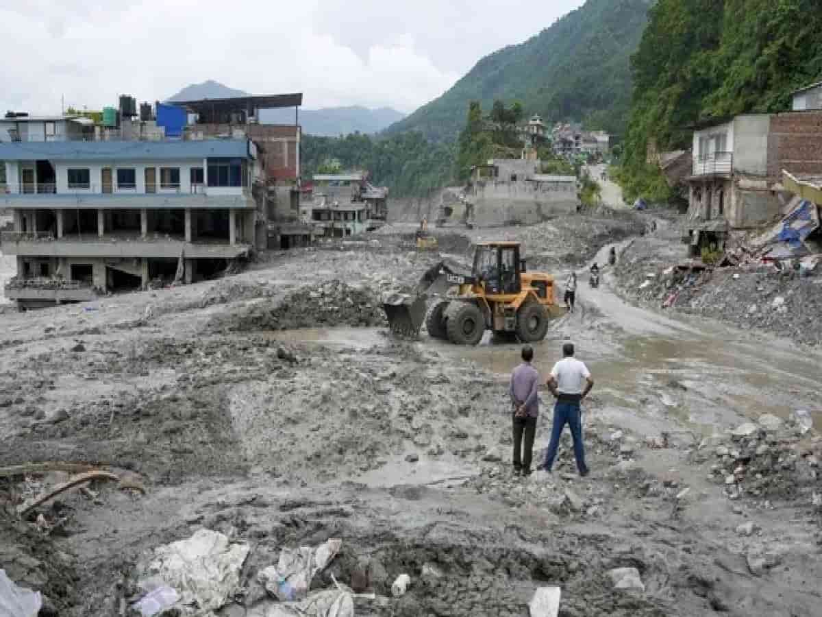
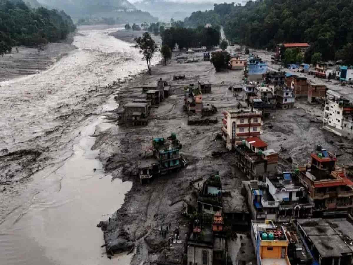
The catastrophic floods that recently battered Nepal, triggered by a sudden avalanche in Tibet, serve as a stark and urgent warning for India’s ecological security. Because Tibet shares the same interconnected Himalayan mountain chain that defines India's northern borders, experts note that a minor directional shift in those rampaging floodwaters could have brought unprecedented devastation directly into Indian territory. As climate change accelerates and infrastructure pressures mount across the region, the vulnerability of the entire Himalayan ecosystem has entered a critical phase.
Fragile Ecosystems and Vulnerable Glacier Lakes
The greater Himalayan region currently harbors more than 2,000 glacial lakes, many of which pose latent threats of sudden outbursts and massive flash floods. According to official assessments by the National Disaster Management Authority (NDMA) and the Central Water Commission (CWC):
-
There are 2,431 glacial lakes identified across the Indian Himalayan region.
-
Noticeable and concerning increases in size have been recorded across 676 lakes.
-
Out of total high-risk zones, 189 glacial lakes have been specifically flagged by authorities, with 56 lakes categorized as highly vulnerable.
These changing dynamics mean that catastrophic glacial lake outburst floods (GLOFs) can materialize with little warning, threatening downstream habitations, hydropower projects, and millions of lives.
India’s Space Capabilities vs. On-Ground Sensor Gaps
India has made commendable strides in harnessing space technology and meteorology for disaster risk reduction. The National Remote Sensing Centre (NRSC) under ISRO maintains exhaustive satellite databases mapping glaciers across Indian territories and adjoining border ranges. Furthermore, the NDMA has initiated pilot tests deploying indigenous early warning systems utilizing Automatic Weather Stations and INSAT-based satellite communication in mountainous states like Himachal Pradesh.
However, significant technical vulnerabilities remain. While satellite imaging effectively monitors distant surface changes, it struggles to predict split-second phenomena such as hanging glacier collapses or rock-ice avalanches. Ground-level surveillance mechanisms—including seismic monitors, geophones, and automatic water-level sensors—remain severely limited in high-altitude, inaccessible terrain.
Cross-Border Data Deficits and Trans-Border Challenges
A major impediment highlighted by disaster management authorities is the lack of integrated, real-time cross-border data sharing. Accurately modeling the debris flow, volume, and surge capacity of temporary landslide dams or glacial lakes forming across international borders in Tibet and Nepal remains exceptionally difficult. Without automated, real-time sensor streams from trans-border regions, downstream valleys in India face severely truncated response windows—sometimes as short as 15 to 30 minutes.
The Road Ahead: AI-Powered Early Warning Systems
To bridge these critical gaps, efforts are currently underway to develop and deploy comprehensive AI-based early warning networks. While India's space-based surveillance provides robust macro-level risk mapping, integrating artificial intelligence with localized ground sensors in inaccessible border regions is viewed as the definitive next step to ensure proactive disaster preparedness and safeguard vulnerable Himalayan populations.